

CAT- ASSIST
WEBSITES


Below is a list of websites that we have used over the years to help track and monitor different event from Wildfires to Hurricanes.
We also found the Post-Event Imagery websites particularly useful when working with Claims in calculating estimated losses. If you have a large risk that is driving the numbers you can investigate using this post imagery. If the risk was damaged/undamaged you can alter your estimate accordingly.
Post Event Imagery

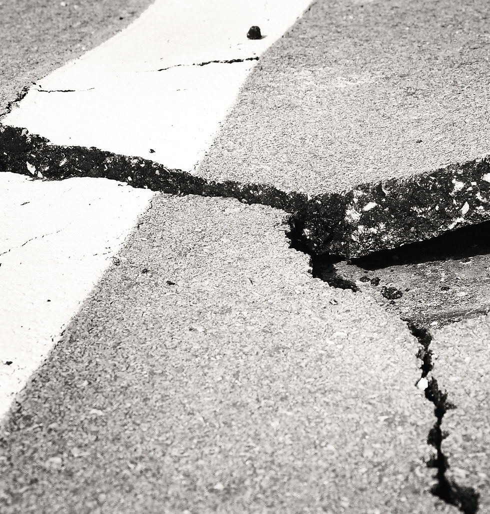
Earthquake


Wildfire

NASA EARTH DATA
Download active fire products from NASA's Moderate Resolution Imaging Spectroradiometer (MODIS)(MCD14DL) and NASA's Visible Infrared Imaging Radiometer Suite (VIIRS) for the last 24, 48 hours and 7 days in shapefile, KML, WMS or text file formats. VIIRS data complement MODIS fire detections but the improved spatial resolution of the 375 m data provides a greater response over fires of relatively small areas.


Flood

Hurricane
National Hurricane Centre
Monitor and track the latest Hurricanes/Cyclones that are developing around the World.

Historical Hurricane Tracks
NOAA provides this online tool that allows you to look back at historical hurricane tracks.


Coastal Emergency Risk Assessment
A computer model with a 25 year track record of success, to calculate storm surge corresponding to the latest official hurricane forecast track.
Storm surge maps on an interactive web mapper (CERA) to help understand the potential impacts and timing of storm surge.
Wikipedia
List of Atlantic hurricane records

Insurance Information Institute
Facts + Statistics: Hurricanes
Data-driven insights on insurance to inform and empower.


Wikipedia
North Atlantic Hurricane Season
Event Weather


Drought

General

Pacific Disaster Center
PDC is an applied research center managed by the University of Hawaii that provides the most reliable information, ground-breaking research, applied scientific practices, and its powerful disaster risk intelligence platform, DisasterAWARE to empower disaster management decision makers and the public. They support disaster mitigation, preparedness, response, and recovery worldwide—using strategies that are consistent with the United Nations’ approach to disaster risk reduction.

Data Science / Climate Change
Global warming is one of the most pressing and severe challenges confronting our planet. This urgent problem is primarily fueled by the rising levels of greenhouse gases (GHGs) such as carbon dioxide, methane, and nitrous oxide in the Earth's atmosphere.
Data science is a powerful tool in the fight against global warming. It uses different methods, such as machine learning (where computers learn from data) and data visualization (turning data into pictures), to analyze the details and understand the most challenging components of climate change.